• Nihahi Ridge, Kananaskis

    Allen Bill Day Use Area W826+H8, Bragg Creek, Alberta, Canada

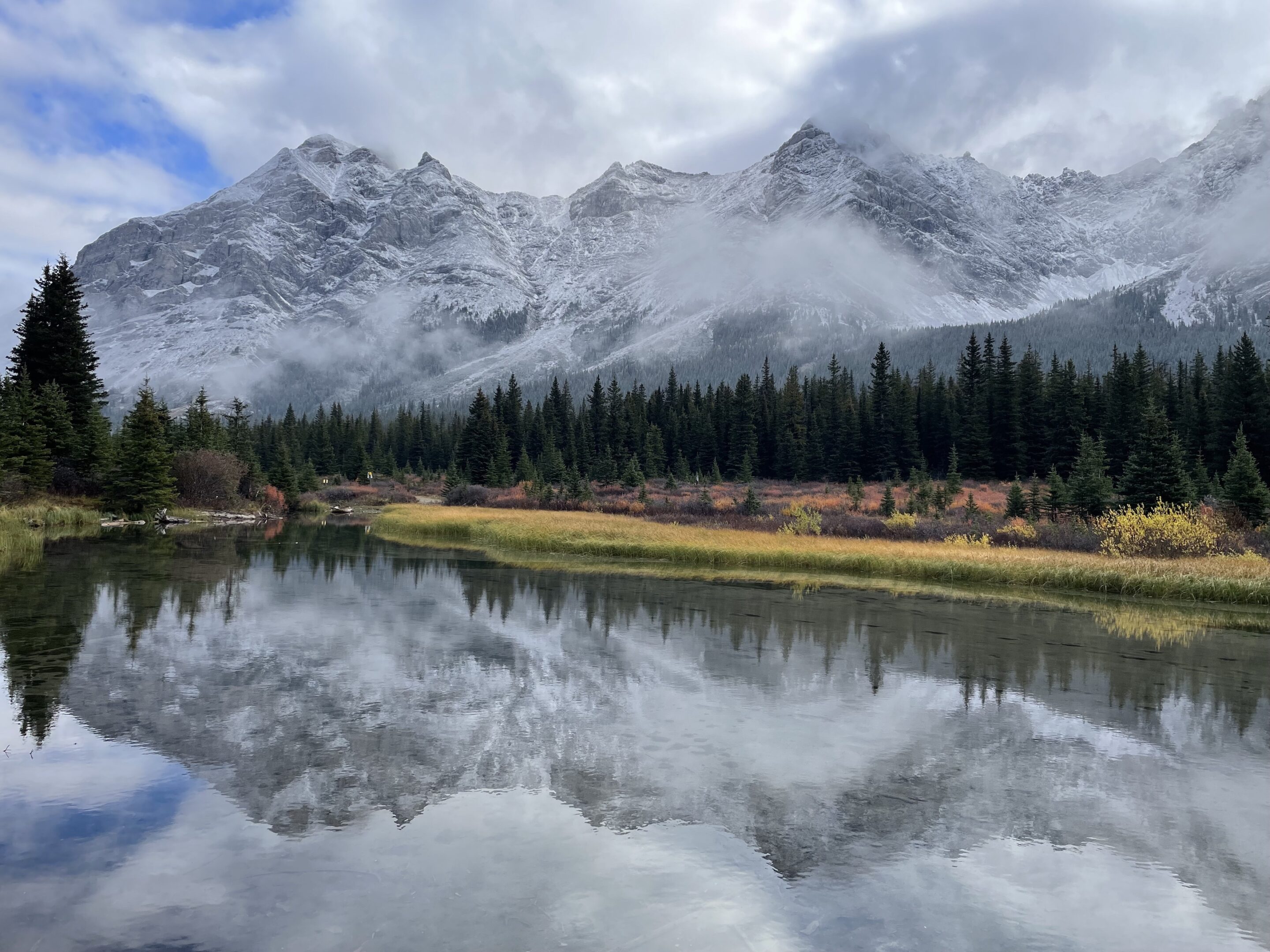
    Description: This hike has it all, starting in the forest before traversing a beautiful grassy meadow and then gaining elevation in the alpine as you climb to the ridge. The views are spectacular throughout the hike. Meet Place: Allen Bill trailhead, Elbow Falls Trail (Hwy 66) Kananaskis Directions: This trailhead is about a 45-55 minute drive […]

  • Raven’s End hike on Mount Yamnuska, Kananaskis

    Mount Yamnuska trailhead, Kananaskis 4WC7+FH Seebe, Alberta

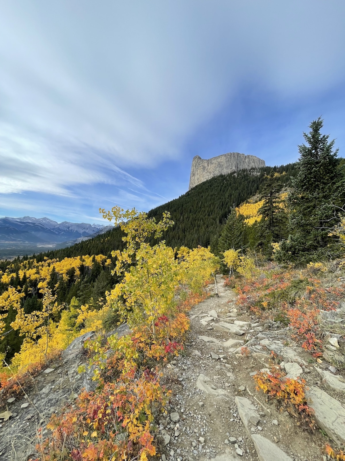
    Description: A forested climb to the east ridge of Yamnuska known as Raven's End leads to spectacular views. Meet Place: Mount Yamnuska trailhead, Kananaskis Directions: Hwy. 1A (Bow Valley Trail). 2.1 km east of 1X Highway turn left (north) onto the quarry road. Keep straight, then turn left into a parking lot. Distance/Length: Rated (AL/MOD), 7 […]

  • Birthday hike to Jumpingpound Summit and beyond, Kananaskis

    Allen Bill Day Use Area W826+H8, Bragg Creek, Alberta, Canada

    Description: It's Lori's birthday so we'll hike for cupcakes! This scenic trail takes you to breathtaking views of the front ranges. We’ll hike beyond Jumpingpound Summit along grassy slopes to big views and our lunch spot. Meet Place: Allen Bill trailhead, Elbow Falls Trail (Hwy 66) Kananaskis Directions: This trailhead is about a 45-55 minute drive […]

  • Grass Pass & beyond (Bull Creek Hills), Kananaskis

    Red Deer Lake Church VRRV+H3 Calgary, Alberta, Canada

    Description: Wildflowers and views! We'll climb a forested path along the Pack Trail Coulee a grassy pass between the Bull Creek Hills and Holy Cross Mountain. We'll climb some more before dipping into a forest and beginning our final accent to the top of the Bull Creek Hills. We will do a portion of the […]

  • Mount Hoffman & Tiger Jaws waterfalls, Kananaskis

    Red Deer Lake Church VRRV+H3 Calgary, Alberta, Canada

    Description: Mount Hoffman hike is the perfect first summit hike for beginner hikers. Beginning in Sheep River Provincial Park in the southern part of Kananaskis (about an hour southwest of Calgary), the Tiger Jaws Waterfalls and the Sheep River Gorge are the first impressive sights along the trail. A gradual climb follows along with one […]
  • Elbow & Rae Lakes, Kananaskis

    Kananaskis Visitor Centre, Hwy 40 1 AB-40, Kananaskis, AB T0L 1N0

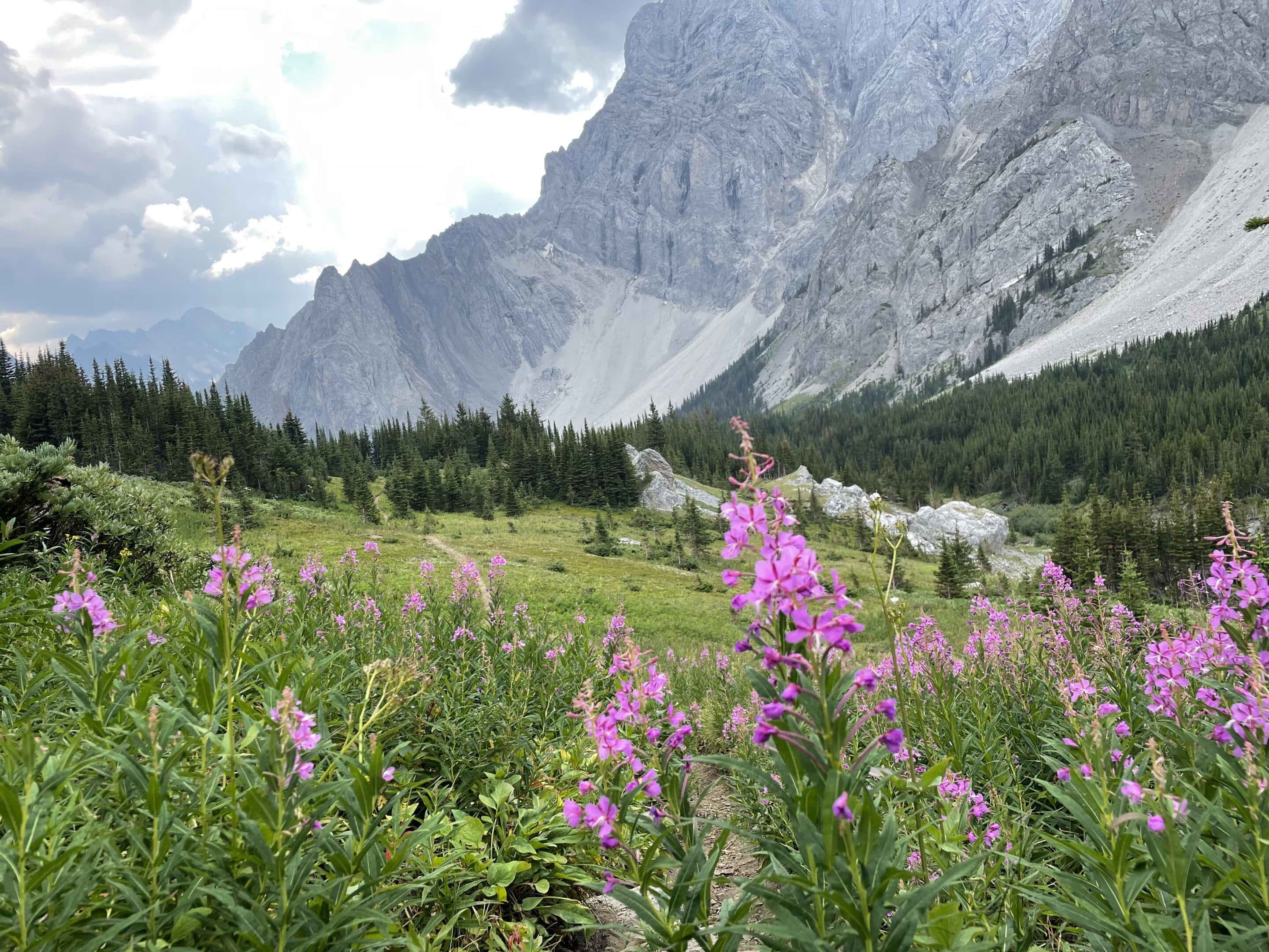
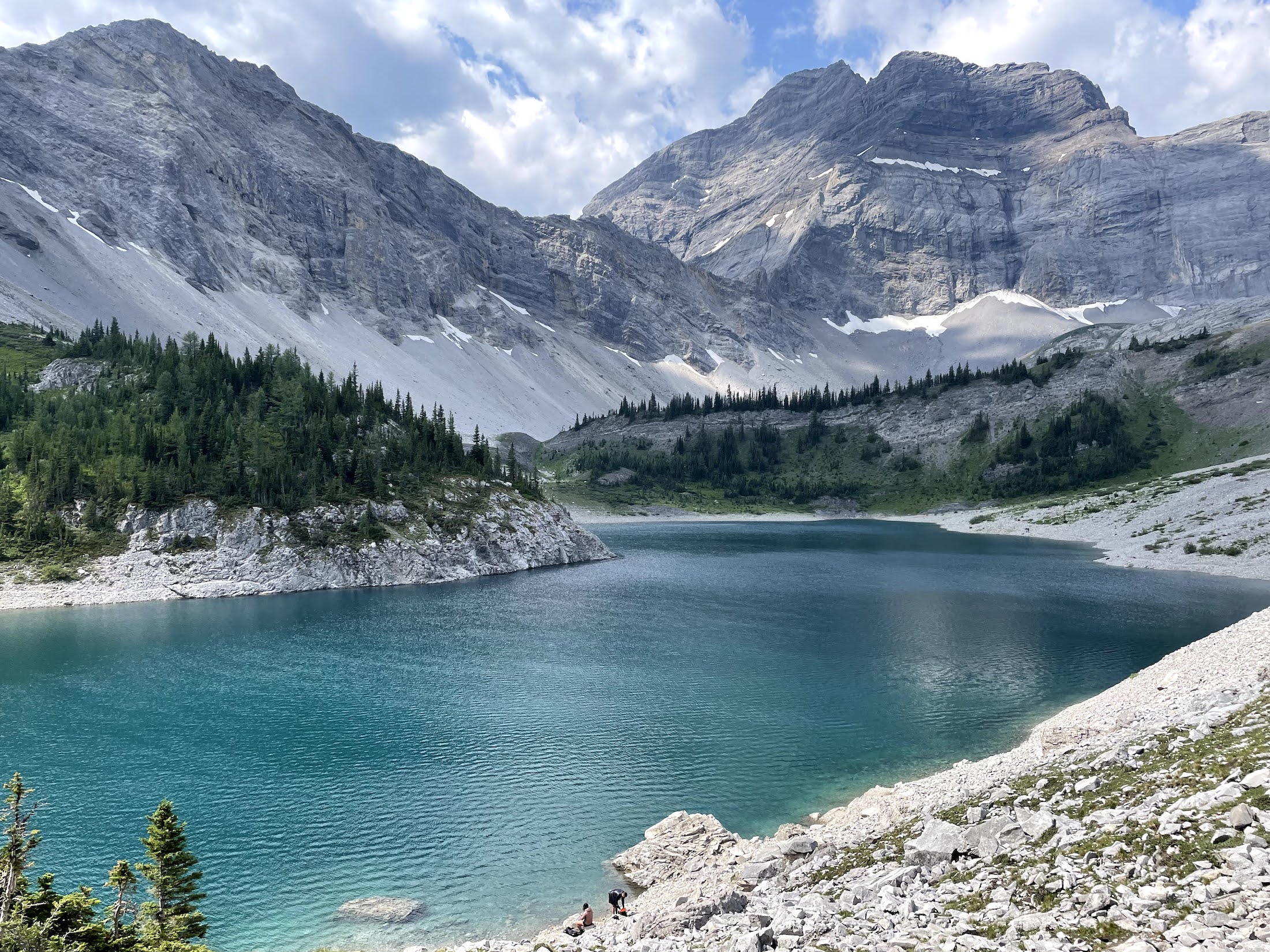
    Description: We'll hike to the popular Elbow Lake and beyond to the beautiful, peaceful, and rarely-visited Rae Lake. We'll check out Edworthy Falls en route to Rae Lake, which is nestled below the north end of Mt. Rae and the east of Tombstone Pass. Meet Place: Kananaskis Visitor Centre, Hwy 40 Directions: Meet at the Shell […]

  • Lillian & Galatea Lakes, Kananaskis

    Galatea Trailhead, Kananaskis VR6F+GG Kananaskis Village, Alberta

    Description: The trail to Lillian Lake and the Galatea Lakes follows a forested trail alongside Galatea Creek, crisscrossing bridges until Lillian Lake comes into view. The 1 km climb to Galatea Lake offers spectacular views. There is an option to stop at Lillian for those who do not want to climb the extra 1 km. […]

  • Healy & Simpson’s Pass Larch, Banff National Park

    Healy Pass trailhead, Sunshine ski hill 467P+XH Banff, Alberta, Canada

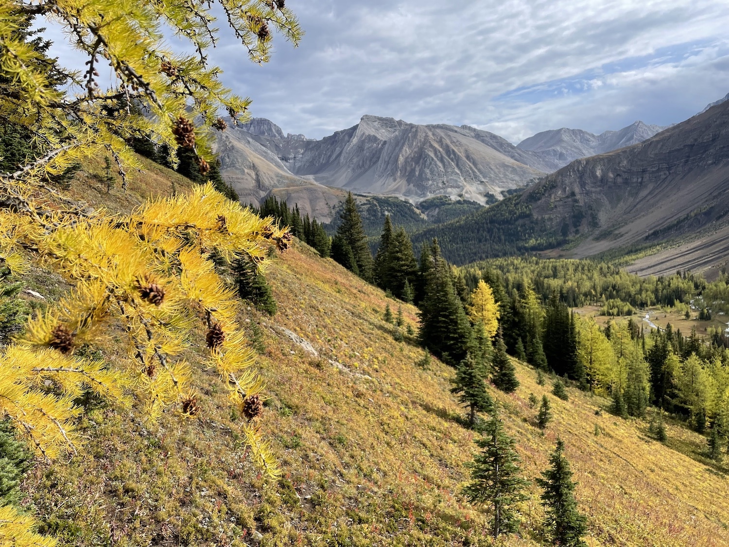
    Description: This Parks Canada Trail is well maintained and allows for beautiful views of many gorgeous peaks and Egypt Lake. The start of the trail keeps you shaded from the summer sun as you gradually climb. The hike starts with a wide, rolling trail that narrows as you go. The lush forest and the bridge […]

  • Rae & Elbow Lakes & Edworthy Falls Larch, Kananaskis

    Shell Station at COP, HWY 1 8435 Bowfort Rd NW, Calgary, AB T3B 2V2

    Description: We'll hike to the popular Elbow Lake and beyond to the beautiful, peaceful, and rarely-visited Rae Lake. Rae Lake is nestled below the north end of Mt. Rae and the east of Tombstone Pass. Meet Place: Shell Station at COP Directions: Meet at the Shell station at COP. Distance/Length: Rated* (MOD),17 km + 432 meters […]

  • Pocaterra Cirque (& ridge option), Highwood Pass, Kananaskis

    Shell Station at COP, HWY 1 8435 Bowfort Rd NW, Calgary, AB T3B 2V2

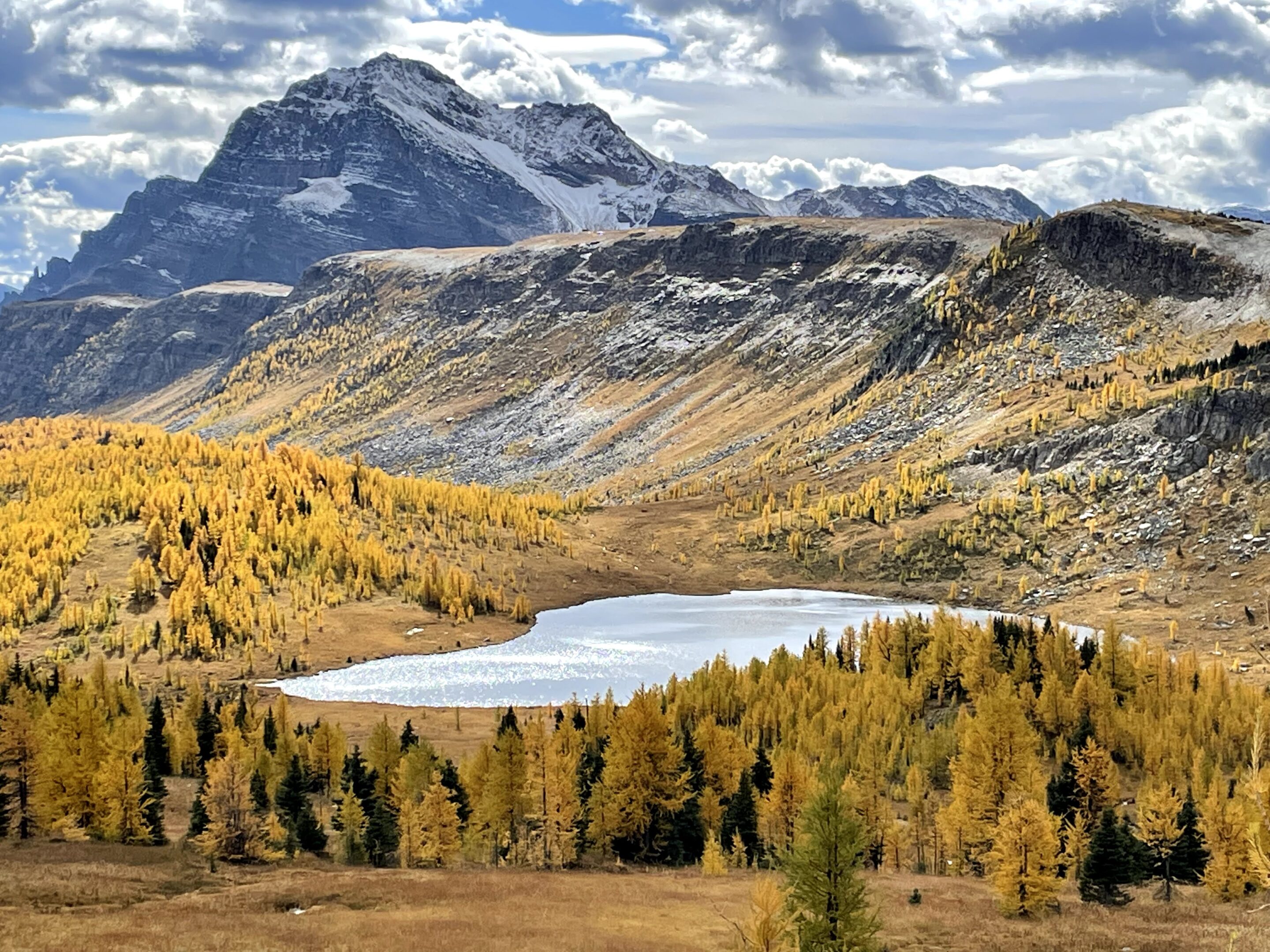
    Description: This stunning high alpine hike in the Highwood Pass of Kananaskis is breathtaking at any time but especially in the fall when the larches put on a display of colour.  We hike through the trees on a zig zaggy, sometimes muddy, trail to Pocaterra cirque where creeks flow and larches are abundant. A climb […]

  • Raven’s End hike on Mount Yamnuska, Kananaskis

    Shell Station at COP, HWY 1 8435 Bowfort Rd NW, Calgary, AB T3B 2V2

    Description: A forested climb to the east ridge of Yamnuska known as Raven's End leads to spectacular views. Registration & Fees: Want to join us? Scroll down to the bottom for registration and fee options. Meet Place: Meet at the Shell Gas Station, Hwy 1 and Bowfort Road (see map below) OR at the Mount Yamnuska […]

  • Horsethief Canyon Badlands with paleonologist & Last Chance Saloon, Drumheller

    Horsethief Canyon parking G4QJ+6C Drumheller, Alberta, Canada

    Description: Horsethief Canyon is the rarely marvelled gem in this prehistoric playground. It's a 10-kilometre jaunt up quiet Highway 838 (the North Dinosaur Trail), northwest of the region's Royal Tyrrell Museum. A descent in the canyon leads us into the land of strange outcrops of rock that are a kaleidoscope of geology and history, a […]