• Jumpingpound Summit & beyond, Kananaskis

    Allen Bill Day Use Area W826+H8, Bragg Creek, Alberta, Canada

    Description: This scenic trail takes you to breathtaking views of the front ranges. We'll hike beyond Jumpingpound Summit along grassy slopes to big views and our lunch spot. Meet Place: Allen Bill trailhead, Elbow Falls Trail (Hwy 66) Kananaskis Directions: This trailhead is about a 45-55 minute drive from Calgary. Access Hwy. 66 from Hwy. 22 […]

  • Stanley Glacier, Kootenay National Park

    Stanley Glacier trailhead 95356W49+7M

    Description: A wonderful trail zigzags through shrubs and wildflowers into a wide-open valley below Stanley Glacier. Waterfalls, glaciers, and big views are constant on this fantastic hike. Meet Place: Stanley Glacier Trailhead, Kootenay National Park Directions: Hwy 1 (Trans Canada) west to Castle Junction. Take Hwy 93 south towards Radium (about 1.5 hours drive from Calgary) […]

  • Galatea Lake and Guinn’s Pass, Kananaskis

    Galatea Trailhead, Kananaskis VR6F+GG Kananaskis Village, Alberta

    Description: The trail to Lillian Lake, Galatea Lakes, and Guinn’s Pass follow a forested trail alongside Galatea Creek, crisscrossing bridges until Lillian Lake comes into view. The 1 km climb to Galatea lake offers spectacular views. The views continue on the way to Guinn’s Pass where we'll settle in for lunch and views of Ribbon […]
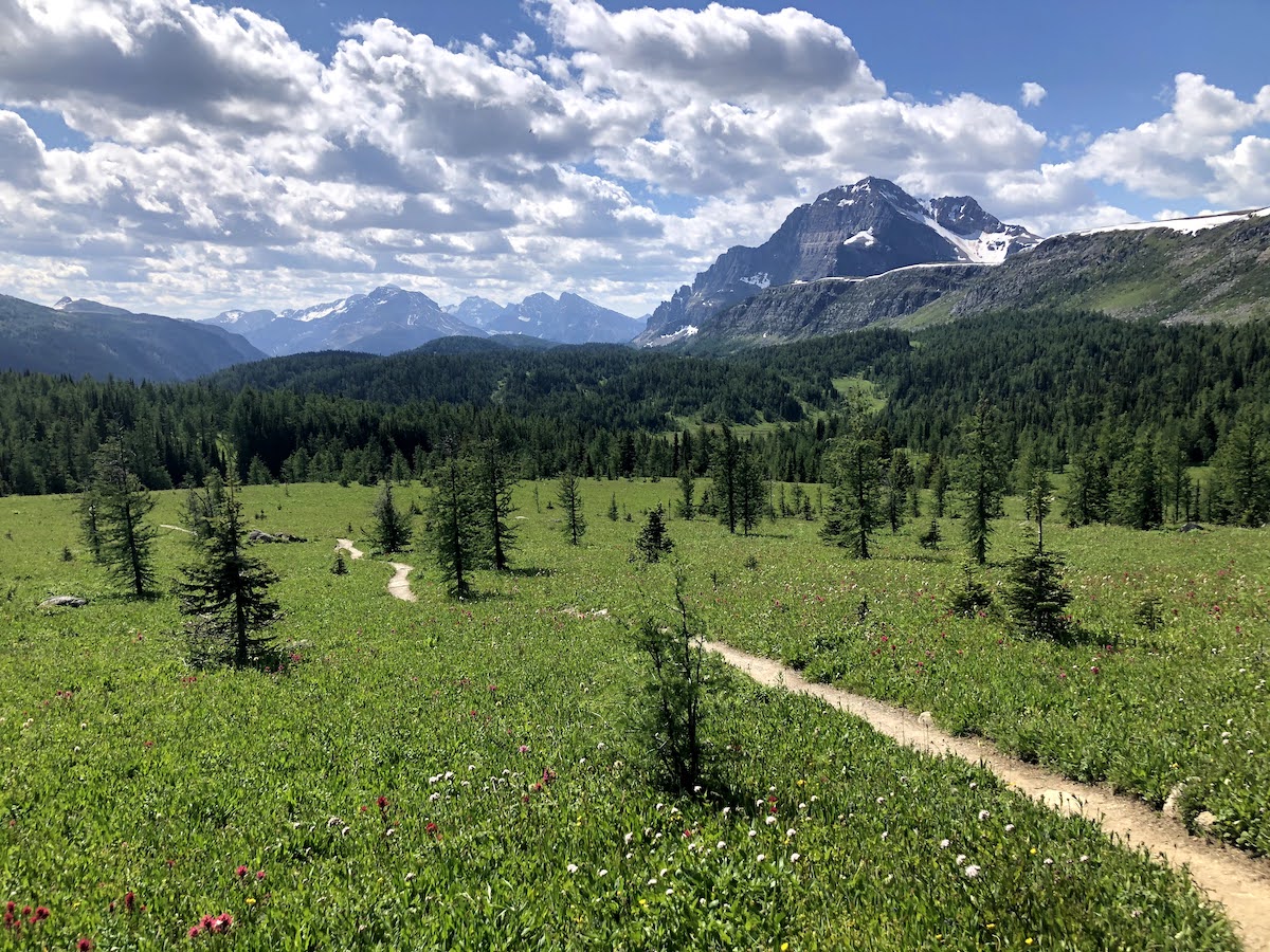
  • Healy & Simpson’s Pass Wildflowers, Banff national Park

    Healy Pass trailhead, Sunshine ski hill 467P+XH Banff, Alberta, Canada

    Description: This Parks Canada Trail is well maintained and allows for beautiful views of many gorgeous peaks and Egypt Lake. The start of the trail keeps you shaded from the summer sun as you gradually climb. The hike starts with a wide, rolling trail that narrows as you go. The lush forest and the bridge […]

  • Chester Lake and Three Lakes Valley, Kananaskis

    Shell Station at COP, HWY 1 8435 Bowfort Rd NW, Calgary, AB T3B 2V2

    Description: This stunning hike to Chester Lake is followed by a climb past the Elephant Rocks to Three Lakes Valley, where fossils and flowers, and more views await! Meet Place: Shell Station on Hwy 1 at COP OR at Chester Lake trailhead, Spray Lakes Road, Kananaskis at 9 am. About 1 hour 40 minutes drive from […]

  • Chester Lake & Three Lakes Valley, Kananaskis

    Chester Lake, Kananaskis 9526QMRX+77

    Description: This stunning hike to Chester Lake is followed by a climb past the Elephant Rocks to Three Lakes Valley, where fossils and flowers, and more views await! Meet Place: Chester Lake trailhead, Spray Lakes Road, Kananaskis (or carpooling could be arranged from the Shell station at COP in Calgary). About 1 hour 40 minutes drive […]

  • Tent Ridge Horseshoe, Kananaskis

    Chester Lake, Kananaskis 9526QMRX+77

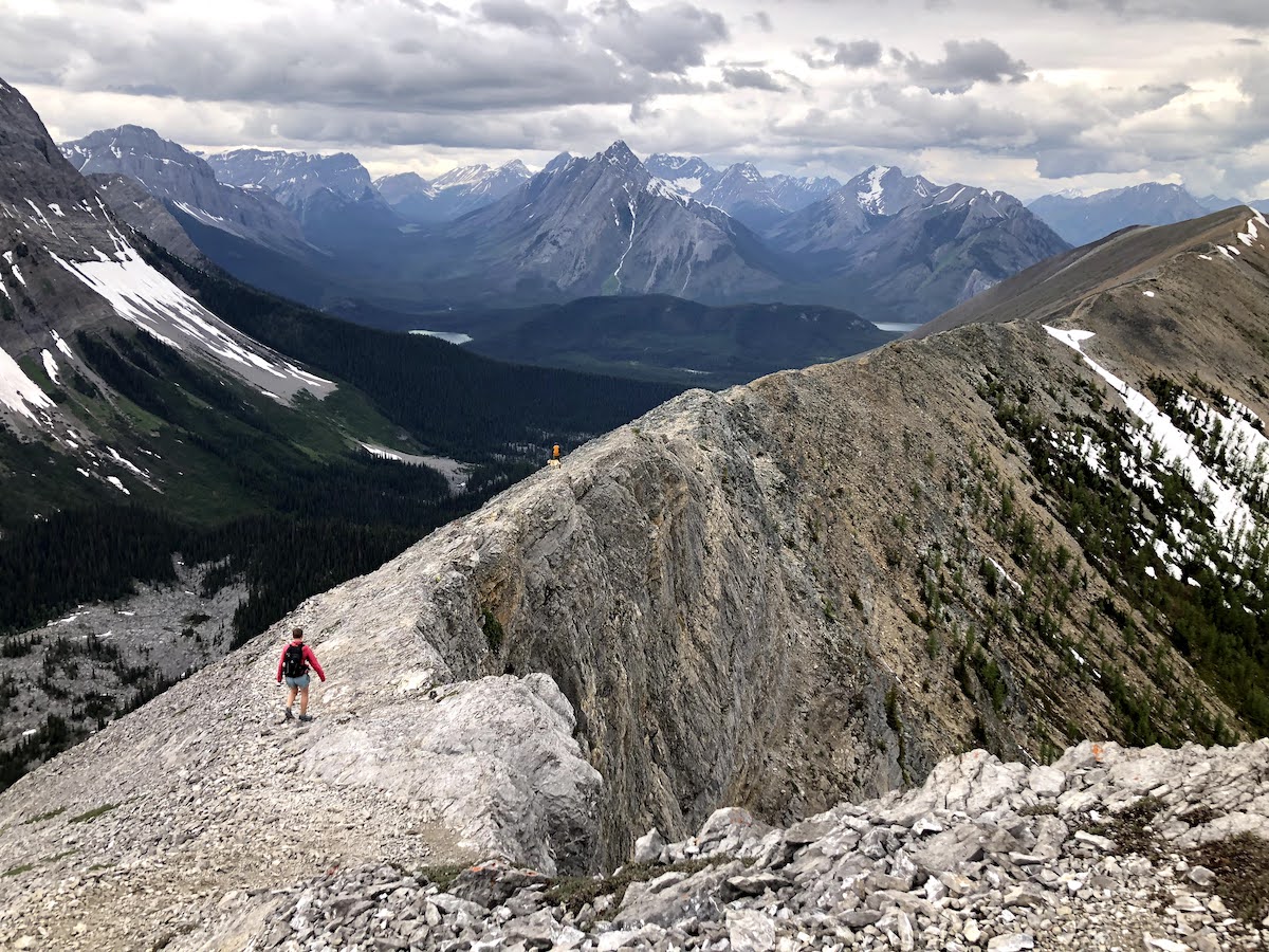
    Description: This is a spectacular, CHALLENGING scramble/hike & ridge walk that offers the hiker panoramic views of the Spray Lakes Valley and Banff National Park. You'll be able to see Mount Assiniboine on a clear day. YOU MUST BE COMFORTABLE with rocky terrain, exposure, using your hands to climb and balance at times, and steep […]

  • Pocaterra Ridge Larch, Highwood Pass, Kananaskis

    Highwood Pass parking 9527H2W7+CV

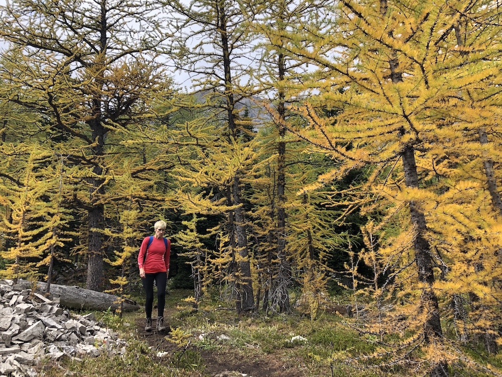
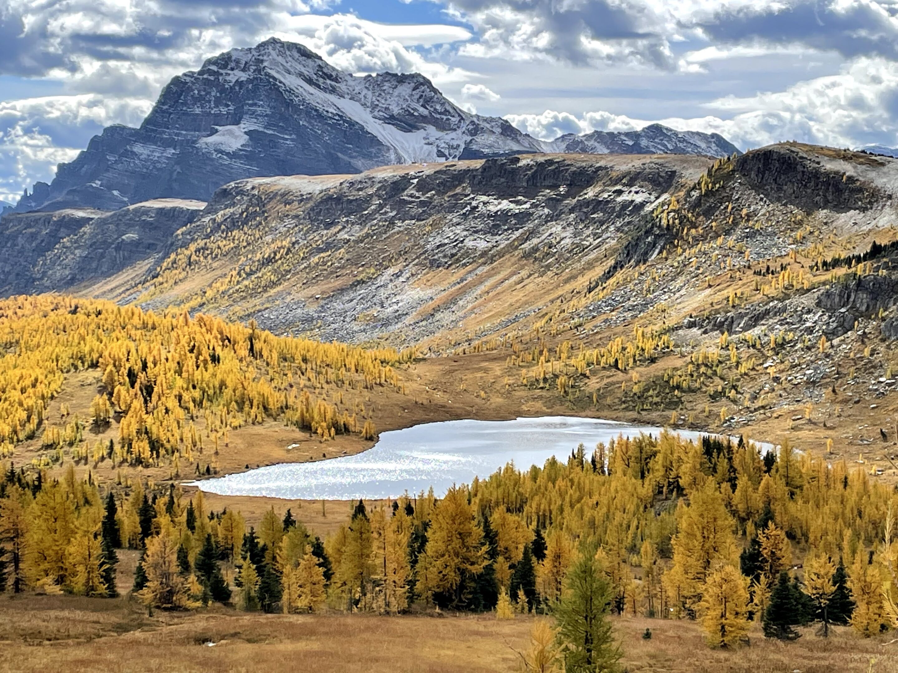
    Description: This is a moderate to a strenuous hike to panoramic views, with some off-trail hiking up to Pocaterra Ridge. There are options to stop before the top as the views are spectacular the entire hike! Meet Place: Shell Station at COP Directions: We will meet at the Highwood Pass parking lot, Hwy 40, Kananaskis (trailhead […]

  • Mount Yamnuska, Raven’s End trail, Kananaskis

    Shell Station at COP, HWY 1 8435 Bowfort Rd NW, Calgary, AB T3B 2V2

    Description: A forested climb to the east ridge of Yamnuska known as Raven's End leads to spectacular views. This hike is part of the Fall session of hikes with Club Fit Frog. Meet Place: Mount Yamnuska trailhead, Kananaskis Directions: Hwy. 1A (Bow Valley Trail). 2.1 km east of 1X Highway turn left (north) onto the quarry […]

  • Pocaterra Ridge one way hike, Highwood Pass, Kananaskis

    Shell Station at COP, HWY 1 8435 Bowfort Rd NW, Calgary, AB T3B 2V2

    Description: This is a moderate to strenuous hike to panoramic views, with some off-trail hiking up to Pocaterra Ridge. This is a one-way, linear hike where we will park cars on each end. Meet Place: Shell Station, across from COP Directions: We will drop cars at Little Highwood Pass and then carpool to Highwood Pass parking […]

  • Healy and Simpson’s Pass Larch, Banff National Park

    Brentwood LRT/ Co-op gas station 4122 Brentwood Rd NW, Calgary, AB T2L 1K8

    Description: This Parks Canada Trail is well maintained and allows for beautiful views of many gorgeous peaks and Egypt Lake. The start of the trail keeps you shaded from the summer sun as you gradually climb. The hike starts with a wide, rolling trail that narrows as you go. The lush forest and the bridge […]

  • Rae Lake Larch, Kananaskis

    Shell Station at COP, HWY 1 8435 Bowfort Rd NW, Calgary, AB T3B 2V2

    Description: We'll hike to the popular Elbow Lake and beyond to the beautiful, peaceful, and rarely-visited Rae Lake. Rae Lake is nestled below the north end of Mt. Rae and the east of Tombstone Pass. Meet Place: Shell Station at COP Directions: Meet at the Shell station at COP. Distance/Length: Rated* (MOD),16 km + 400 meters […]